

Bojana Horvat
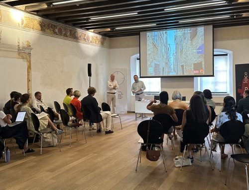
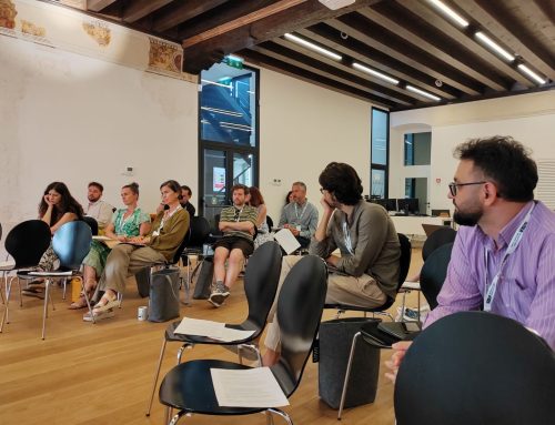
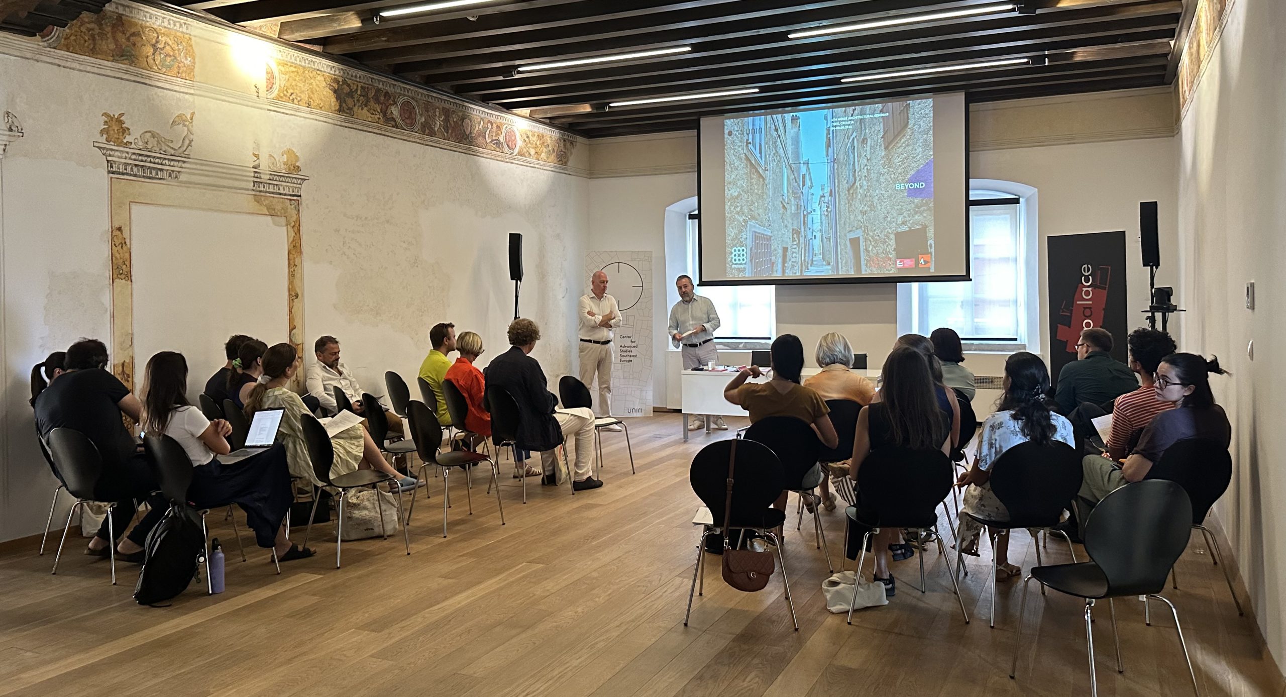
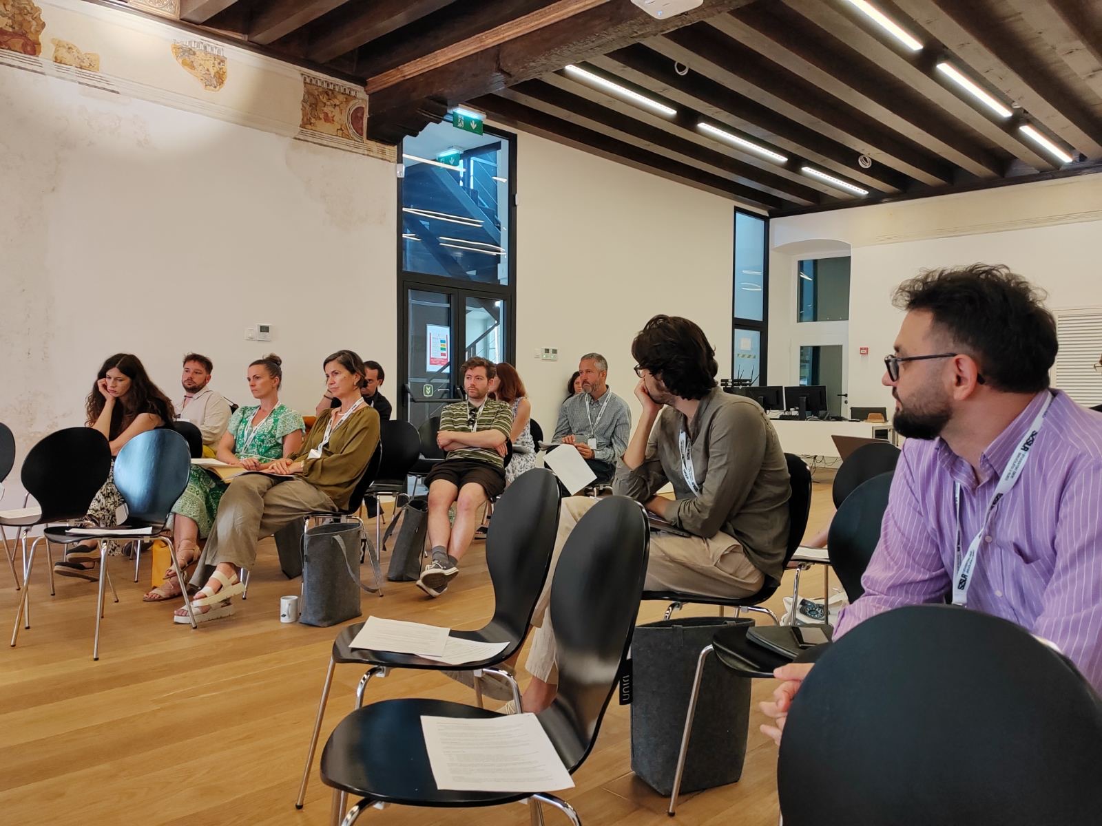
On Thursday, May 19th, as part of the UNIRI for Cres Community program in Moise Palace, doc. dr. sc. Bojana Horvat held a lecture on Remote Sensing: Earth from Space.
Since the first photograph taken from the air in the mid-19th century, remote sensing has been a part of everyday life. It enabled us to peek into the previously hidden parts of our planet and the universe and opened a new way of understanding the processes that take place on the surface of the Earth and how we, through our actions, influence them. Remote sensing is the science and technology of collecting information about distant objects, surfaces, and phenomena using a device (sensor) that is not in contact with what we are researching and is installed high above the surface, on platforms such as airplanes, spacecraft or drones. Data collected in this way can be in various forms, but in this lecture, the focus is on pictorial and non-pictorial records created from registered electromagnetic energy emitted or reflected from the Earth’s surface. After a brief history of remote sensing, starting with black-and-white photographs taken from balloons and ending with complex satellite systems orbiting our planet today, Horvat talked about devices and the process of data collection as well as their interpretation through a series of practical examples, such as mapping and scoping floods and the detection of coastal sources that our coast abounds in.
UNIRI The Moise Palace: Cres Island
An education center of the University of Rijeka. A five-hundred-year-old patrician townhouse and the largest Renaissance palace on the Croatian islands. A venue and forum for various scientific and research activities, it welcomes visiting academics, students and scholars.

